Open plots / urban
Representative rate
Agricultural land
Official range per acre
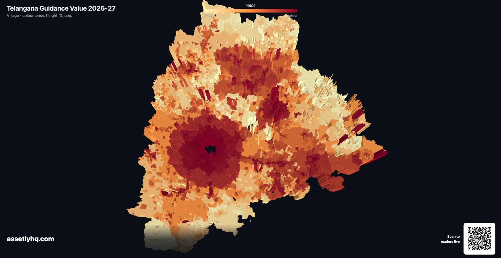
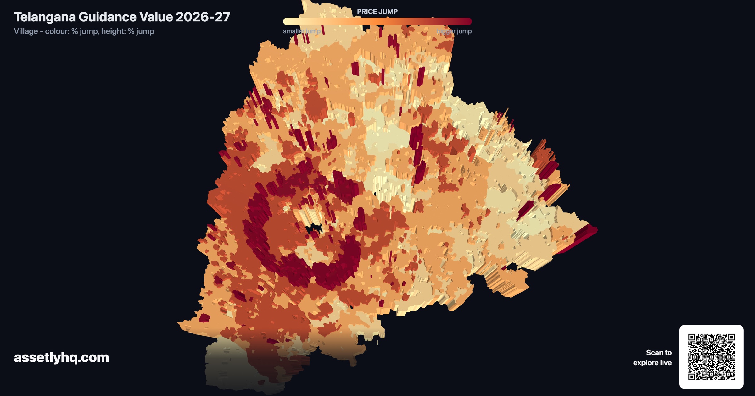
Portal-native rates can cover more places than the map because the map only shows locations that match available boundary geometry. Confirm the exact locality and plot classification on the government portal or with the SRO.
View mandal rates →