Vattinagulapalli Series: This is Part 2 of 3. Part 1: The Dispute Explained | Part 3: Family Land, Family Fights
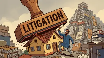
A compound wall stood for years. Seventy men and four JCBs took it down in one night. The wall wasn’t the problem. The missing documents were.
That’s the Vattinagulapalli dispute near Hyderabad’s Outer Ring Road: multiple families claiming overlapping ownership of the same land, court cases stretching back to at least 2019, and government survey maps that simply don’t exist for several of the survey numbers involved.
But this isn’t just about one family near the ORR. The issues at play here (missing maps, oral family arrangements, post-acquisition boundary confusion) exist on millions of properties across India. This is what everything that can go wrong looks like, in a single case.
Here are seven lessons every property owner should take away.
1. A Boundary Wall Is Not Proof of Ownership
Think of it this way: if you park your car in a spot every day for five years, it does not become your parking spot. A boundary wall works the same way. It shows physical possession, not legal title.
In Vattinagulapalli, one party had a compound wall around the disputed land. It had been standing for years. That did not stop 70 men from tearing it down in a single night.
Physical possession and legal ownership are two separate things in Indian property law. Courts have been clear about this repeatedly. To prove you own land, you need a chain of documents: a registered sale deed or title deed, pattadar passbook entries in your name, survey sketches showing your boundaries, and a clean encumbrance certificate going back decades.
A compound wall, a fence, a crop: none of these are substitutes for documentation. If your claim to a property rests primarily on “I have been using this land,” you are standing on ground that can shift overnight. For a deeper look at how encroachment and physical possession interact with the law, see our guide to protecting land from encroachment.
This distinction between possession and ownership is exactly what agencies like HYDRAA (Hyderabad Disaster Response and Asset Monitoring & Protection Agency) act on. In just the first two months of 2026, HYDRAA reclaimed nearly 88 acres of encroached land worth over ₹10,800 crore across Hyderabad. Their mandate covers government land, not private disputes like Vattinagulapalli, but the principle is the same: physical structures on land you do not legally own can be removed.
For NRIs, there is an additional risk. Under Indian law, if someone occupies your land continuously for 12 years without challenge, they can claim ownership through adverse possession. If you are abroad and nobody is monitoring your property, that clock is ticking.
2. Get Your Survey Done BEFORE There Is a Dispute
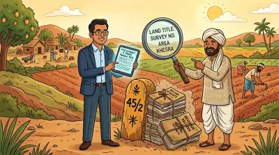
Here is what a land survey actually involves. A government-authorised surveyor physically visits your land, measures the boundaries using surveying instruments, marks the corners with boundary stones, and creates a map called a Tippon (the original survey map, also known as an FMB or Field Measurement Book sketch) that shows exactly where your land starts and ends relative to neighbouring plots.
It sounds basic. But in the Vattinagulapalli case, one of the families has been trying to get a proper survey conducted since 2019, filing a writ petition (WP 13554/2019) in the Telangana High Court. Another party says they have been seeking one since 2020. Years later, the survey still has not happened to everyone’s satisfaction.
This is the pattern with Indian property disputes: by the time you need a survey, getting one becomes exponentially harder. Multiple parties contest boundaries. The revenue department gets caught between competing claims. Courts issue orders that take months to execute.
The lesson is straightforward. If you own land in India, especially land without clear boundary markers or in an area where development is happening, get a survey done now. Not when someone encroaches. Not when a road project slices through your neighbourhood. Now.
3. Missing Tippons Are a Ticking Time Bomb
This might be the most alarming detail in the entire Vattinagulapalli saga. In 2019, the government acknowledged that the original Tippons simply do not exist for several survey numbers in the area.
The government’s own reference maps, the documents that would definitively show where one plot ends and the next begins, are missing.
Without Tippons, every boundary claim becomes a matter of assertion rather than verification. Your neighbour says the boundary is here; you say it is three metres to the left. Without a reference map, who is right? Nobody can say for certain, and that uncertainty is where disputes breed.
This is not unique to Vattinagulapalli. Across India, original survey records have been lost, damaged, or never properly digitised. If you have not verified whether a Tippon exists for your survey number, you should. Contact the District Survey Office or check through your state’s land revenue records portal. If the Tippon is missing, getting a court-directed survey with all neighbouring landowners present is the most reliable way to establish boundaries before a dispute forces the issue.
In Telangana, the process falls under the Survey and Boundaries Act, 1923. You can apply for a copy of your Tippon or FMB sketch at the Tahsildar’s office by submitting your survey number, ownership documents, and Aadhaar card. Some records have been digitised and are available through the Bhu Bharati portal or the National Government Services Portal. If the original Tippon is missing (as in the Vattinagulapalli case), you can file an application with the Tahsildar for a fresh survey, or petition the High Court for a court-directed survey with all neighbouring landowners present.
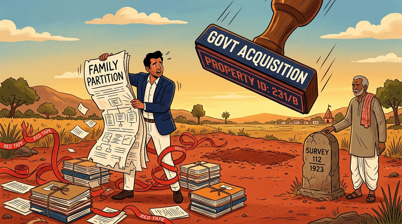
4. Government Acquisition Redraws Your Boundaries
When the Outer Ring Road was built around Hyderabad, the government acquired portions of land from multiple survey numbers in Vattinagulapalli: Surveys 168, 169, 259, 262, and 264. Standard procedure for infrastructure projects. But the aftermath is where things get messy.
Imagine you and your neighbour each own a rectangular plot side by side. Now the government carves a road diagonally through both plots. What is left? Two irregular shapes with new boundaries that no longer match the original survey maps. Multiply that by a dozen survey numbers and several families, and you have the Vattinagulapalli situation: a patchwork of government and private land with unclear boundaries.
We verified this on Bhu Bharati, Telangana’s land records portal. Survey 259, for instance, has some subdivisions marked as “Outer Ring Road” (government land) and others recorded under private names. When acquisition carves through existing plots, the leftover private portions need fresh mapping. If that remapping does not happen (or happens incompletely), the stage is set for overlapping claims.
If any government acquisition has happened near your property (a road, a railway line, a canal, an SEZ), get updated FMB maps from the survey office. Do not assume your pre-acquisition records still accurately reflect your boundaries.
5. Family Partition Must Be on Paper
Indian families often divide property informally. The eldest son gets the farmland, the daughter gets the house, the youngest gets the plot near the highway. Everyone agrees at the time. Nobody registers anything.
This works until it does not.
In the Vattinagulapalli dispute, the families involved have 10 or more members spread across 8 or more survey numbers with different khata numbers. Court records describe them as a group with shared landholdings and co-ownership interests. Untangling who owns what within such arrangements, decades after the original understanding, is precisely the kind of problem that keeps India’s courts clogged with 66% of civil cases being property disputes.
An oral partition has no legal enforceability. If your brother agrees today that the eastern half is yours, and his children disagree twenty years from now, you have nothing to show a court. A registered partition deed, by contrast, is a legal document that survives generations. It costs a fraction of what a court battle costs, and it takes days rather than decades.
If your family owns property jointly, or has informally divided property without documentation, a registered partition deed is one of the most important steps you can take. For related guidance on succession and inheritance documentation, see our guide to wills and succession certificates.
6. Check Your Digital Records Regularly
Here is something that took us minutes to verify: ownership details for the Vattinagulapalli survey numbers. Using Bhu Bharati, Telangana’s land records portal, we could see pattadar names, khata numbers, land extent, classification, market value, and e-KYC status for each subdivision.
This information is publicly available. Anyone can check it. And that cuts both ways.
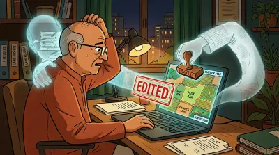
The same portals that let you verify your records also reveal when something has changed. As we have documented in our guide on digital land record tampering, records on these portals can change without any notification to you. A revenue official processes a mutation. A succession entry gets added. A classification changes from agricultural to non-agricultural. None of these trigger an alert to the existing owner.
These portals are not without problems, either. In 2025, investigators uncovered a ₹52 crore e-challan fraud on the Bhu Bharati portal, where hackers used interception tools to manipulate payment data during land registrations, showing full payment while remitting as little as 1% to the government. The portal has since been patched, but it is a reminder that digital records need the same vigilance as physical ones.
For land in high-growth corridors (near an ORR, a metro line, or a new highway), the stakes are especially high because rising land values attract more aggressive claims. Check your records quarterly. Download or screenshot them each time as a dated baseline. And if you spot any discrepancy, act immediately. For a step-by-step guide on what to do if you find errors, see our guide on checking and correcting Bhu Bharati records.
7. Keep All Documents in One Place
Consider the documentation trail in a dispute like Vattinagulapalli. High Court writ petitions, revenue department records across multiple survey numbers, property tax receipts spanning years, family partition arrangements, acquisition records from the ORR project, and Bhu Bharati entries for each subdivision.
Now imagine you need to respond to a legal challenge. Your sale deed is in a bank locker in Hyderabad. The tax receipts are with a family member in Mumbai. The survey sketch is somewhere in a file at your parents’ house. The encumbrance certificate expired three years ago and you never renewed it.
This is how property owners lose disputes they should win. Not because they lack ownership, but because they cannot produce the right document at the right time.
A single digital repository (where every property document is stored, organised, and accessible from anywhere) turns a weeks-long document hunt into a minutes-long retrieval. Platforms like Assetly exist precisely for this purpose: to give property owners, especially those managing assets remotely, one place where every document lives.
The Broader Picture
The Vattinagulapalli dispute will be resolved eventually, by courts, surveys, or settlement. But the conditions that created it (missing maps, oral partitions, post-acquisition boundary confusion, scattered documentation) exist on millions of properties across India.
India has millions of property cases pending in its courts. The average land dispute takes 20 years to resolve. These are not abstract statistics. They represent families stuck in legal limbo, unable to sell, develop, or cleanly pass on their property.
The question is not whether these problems exist. They do, and they are well-documented. The question is whether you will address them before or after they become your problem.
Assetly (assetlyhq.com) helps Indian property owners organise, verify, and track their property documents digitally, from anywhere in the world.