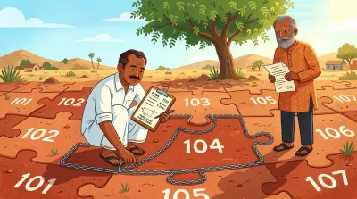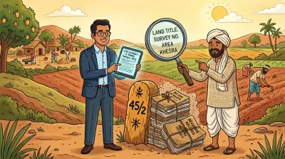
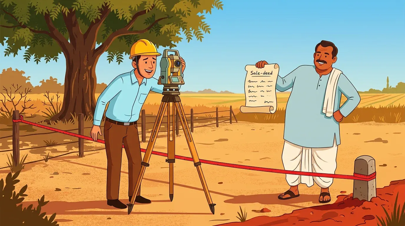

Four corner stones. A fence that has stood for years. A sale deed that says 1,200 square yards.
Then a buyer’s survey finds that the fence encloses 1,060.
That is the quiet problem a land survey is meant to catch. A survey does not create ownership and it cannot make a defective title clean. It answers a different, very practical question: where is the parcel described in the papers, on the ground?
For Indian owners, especially those managing land from another city or country, that question is often left unanswered until a sale, construction project, family partition or argument with a neighbour forces it into view.
A land survey is the bridge between paper and ground
Think of the sale deed as an address plus a promise. It may identify a survey number, an extent and four boundaries. The revenue record names the holding. An FMB sketch or land parcel map shows the official surveyed shape of the parcel.
A field survey tests whether those paper descriptions can be located coherently on the site.
A competent surveyor begins by collecting the available documents, not by switching on a GPS receiver. Depending on the property and state, that can include the sale deed and its schedule, prior deeds, FMB or village map, Record of Rights, mutation papers, layout approval, partition deed and adjacent survey details. They identify reference points, take measurements, plot corners and compare the result with the record.
Modern private teams may use total stations, GNSS/DGPS receivers, drones or conventional instruments. The equipment matters, but the document work matters just as much. A highly precise coordinate is not useful if it has been attached to the wrong survey number, wrong sub-division or wrong datum.
The Department of Land Resources’ Digital India Land Records Modernization Programme includes survey and resurvey because maps, textual records and registration data have historically sat in separate systems. A map on a screen is useful. It is not proof that a boundary on the ground has been checked.
Who is a private land surveyor?
In everyday property conversations, “private land surveyor” usually means an independent professional or firm paid by an owner, buyer, developer, lawyer or family to measure and map land.
They are not one uniform, nationally licensed class. India does not have a single all-India permission that lets a private professional amend every state’s cadastral record. The rules that matter are local: the state’s land-revenue and survey framework, whether it maintains a register of licensed surveyors, and the purpose of the assignment.
That distinction is not academic. Some states and courts use approved, licensed or empanelled surveyors for particular work. Other assignments are simply private technical services. The rules under the Assam Land and Revenue Regulation, for example, say specified survey work may be done by a government officer, a person declared by the state government to be an approved surveyor, or a person certified as qualified by the Director of Surveys. That state-specific framework does not turn every private survey report elsewhere in India into an official boundary decision.
When someone advertises themselves as a “government-approved” surveyor, ask a precise follow-up: approved by which authority, for which state, and for which kind of work? Ask for the registration or panel number, then verify it with the relevant local survey, revenue or court office.
Private survey versus government survey: the difference that matters
Both may involve measuring land. Their job and legal effect are different.
| Question | Private surveyor | Government survey or official demarcation |
|---|---|---|
| Who appoints and pays them? | Usually the owner, buyer, family or developer | The competent state revenue or survey authority, following the state’s process |
| What do they produce? | A technical report, plan, coordinates, photographs and observations | An official proceeding, record or demarcation under the applicable state framework |
| Can they change an FMB, cadastral map or RoR? | No | Only the competent authority can process a correction or update under state law |
| Can they decide title? | No | No. Title disputes are ultimately for the civil court, although official records may be important evidence |
| When are they especially useful? | Due diligence, design, family division planning, monitoring, and identifying a mismatch | A formal boundary request, record correction, mutation-linked issue, or dispute requiring an official process |
In a 2025 Telangana boundary dispute, the High Court directed that an Advocate Commissioner could take the assistance of a government surveyor or qualified private surveyor. The exercise still had to use the available village map and tippan, give both parties advance notice and take place in their presence. The useful lesson is not that a private measurement replaces the official record. It is that qualified technical assistance can help locate a boundary when the process remains tied to the records and gives affected parties a chance to participate.
The observation illustrates one useful role for a private survey, but it is not a substitute for checking the process that applies in the property’s state. A private survey can translate a family arrangement into a measured plan. It cannot validate a family arrangement that has never been documented, nor can it rewrite the official record.
What a good private survey can give you
The value is not a certificate with impressive technical words. It is earlier clarity, before a small discrepancy becomes an expensive decision.
Before you buy or sell a plot
An advertised area and a fenced area can be different from the area tied to the deed and government map. A survey lets you compare all three before money changes hands. For a buyer, it is one part of verifying property title, alongside a chain-of-title review, Encumbrance Certificate, approvals and revenue records.
For a seller, it lets you discover the problem before the buyer’s bank or lawyer does. If there is an extent mismatch, do not conceal it or improvise a boundary. Understand whether it is a measurement issue, an old subdivision problem, an encroachment, an error in the document description or a matter for an official correction.
Before a wall, gate or construction work
A wall feels permanent. It is also visible evidence of where you chose to place a boundary. Building it in the wrong place can turn a two-metre error into a conflict with a neighbour or a public authority.
Get the parcel located before construction begins, then retain a plan showing the measured corners and the basis used. This is particularly important where a deed relies on changing references such as “Ramesh’s field” or an old cart track. Our guide to protecting land from encroachment explains why physical markers and documentary records need to support each other.
When a family is dividing land
This is where private surveyors can be particularly useful. A partition deed may say that each sibling receives an equal extent, but equal area is not the same as a usable, identifiable parcel. Someone needs to plot access, existing roads, wells, easements, odd shapes and the proposed internal line.
Commission the measurement before signing the partition plan, attach the plan where appropriate, and then follow the required registration, mutation and sub-division process in your state. The survey plan can help the family agree on reality. It cannot replace the legal documents that make the division enforceable.
When you are remote
An NRI or owner in another city has an obvious disadvantage: you cannot casually walk the boundary after the monsoon or notice that a fence has moved. A private survey creates a dated baseline. It can pair a map with corner photographs, coordinates and a site-observation note.
That baseline becomes valuable later. It gives a future surveyor, lawyer or official a documented starting point rather than a memory of where the boundary “used to be”. Store it with the official FMB or village map, deeds and land revenue records, not as a loose WhatsApp PDF.
What a private survey cannot do
This is where sellers and service providers can overpromise.
A private survey cannot:
- transfer title or cure a break in the chain of title;
- replace a registered deed, mutation or official sub-division;
- force a neighbour to accept a boundary line;
- remove an encroachment by itself;
- alter a government map, FMB, RoR or online portal entry; or
- decide a contested ownership claim.
Courts may find a survey useful. In C. Subramani v. Perumal Udayar (2016), the Madras High Court held that, where the nature, extent and features of property were disputed, a survey by an Advocate Commissioner with the aid of a qualified surveyor would help the court assess the facts. The court also made the limit clear: the commissioner should not give an opinion on possession.
So treat a private report as evidence and diagnosis, not a verdict. If a neighbour disputes the result or the report reveals an error in the official record, move to the proper state process for official demarcation or correction. If title itself is disputed, speak to a property lawyer in that state.
How to choose a surveyor without buying a pretty map
Do not hire on price alone, and do not accept “GPS survey” as a complete description of the job. Ask these questions before you appoint anyone:
- What exactly will you compare? They should ask for the deed, FMB or cadastral map, revenue record and relevant prior documents. A proposal based only on a Google Maps pin is too thin for a property-boundary question.
- What authority or qualification applies here? Ask for state licence, registration, empanelment or professional qualification where the work calls for it. Confirm any official-status claim independently.
- What will the deliverable contain? Request a signed plan, scale, north arrow, coordinate system and datum, area calculation, instrument used, methodology, site photographs, document list and a clear statement of assumptions.
- Will the report distinguish record boundaries from occupation? A fence or cultivation line may show possession, but it is not automatically the legal boundary. The report should show what it observed and what records it compared.
- Who will attend? For a sensitive boundary, invite adjoining owners where appropriate and record who was present. For a formal government demarcation, follow the state’s notice procedure rather than trying to recreate it privately.
- What happens if there is a mismatch? A responsible surveyor will explain the next technical step. They should not promise to “fix” an official record or guarantee a court outcome.
Keep a copy of the engagement letter and invoice too. They establish the purpose, date and scope of the work if you need to rely on the report later.
A sensible sequence for property owners
If you suspect a boundary or area problem, do not begin with a confrontation. Start by organising the evidence.
- Download or obtain the current official map and revenue extracts for your exact survey number and sub-division.
- Gather the registered deed, prior deeds, partition documents and approvals. Check that the survey number, extent and boundaries are internally consistent.
- Commission a private survey when you need an independent site measurement, a development plan, a family division plan or an early diagnostic.
- Compare the report with the official record. Mark differences carefully, without assuming that the newest map automatically wins.
- Where the result indicates an official record issue, apply for the relevant official survey, demarcation, subdivision or correction. If official reports conflict, the Telangana High Court’s 2026 fresh-survey ruling illustrates why the next exercise must give affected parties notice and begin independently. Where another party contests title or possession, get state-specific legal advice promptly.
The wider property-dispute problem in India is full of cases where documents described a property but nobody had reconciled those descriptions with the physical site. A survey is not a magic shield. It is one of the clearest ways to make sure you know what you are buying, dividing, fencing or leaving to your children.
Related Reading
- FMB Sketch and LP: Your Land’s Official Treasure Map - How to read the official map of an individual parcel.
- How to Protect Your Land From Encroachment - A practical plan for boundaries, markers and early action.
- How to Verify Property Title in India - The title checks a survey cannot replace.
- Land Revenue Records: 7/12, RTC, Pahani, and What They Mean - The state records that need to match your documents and ground reality.
- India’s Property Dispute Crisis - Why document gaps and unverified boundaries can take years to resolve.
Assetly is a property document management platform that helps Indian property owners, including NRIs, organise, verify and track their property documents digitally. Learn more at assetlyhq.com.